Commercial Drone Roof Inspection in Elgin, IL
Plan a drone roof survey
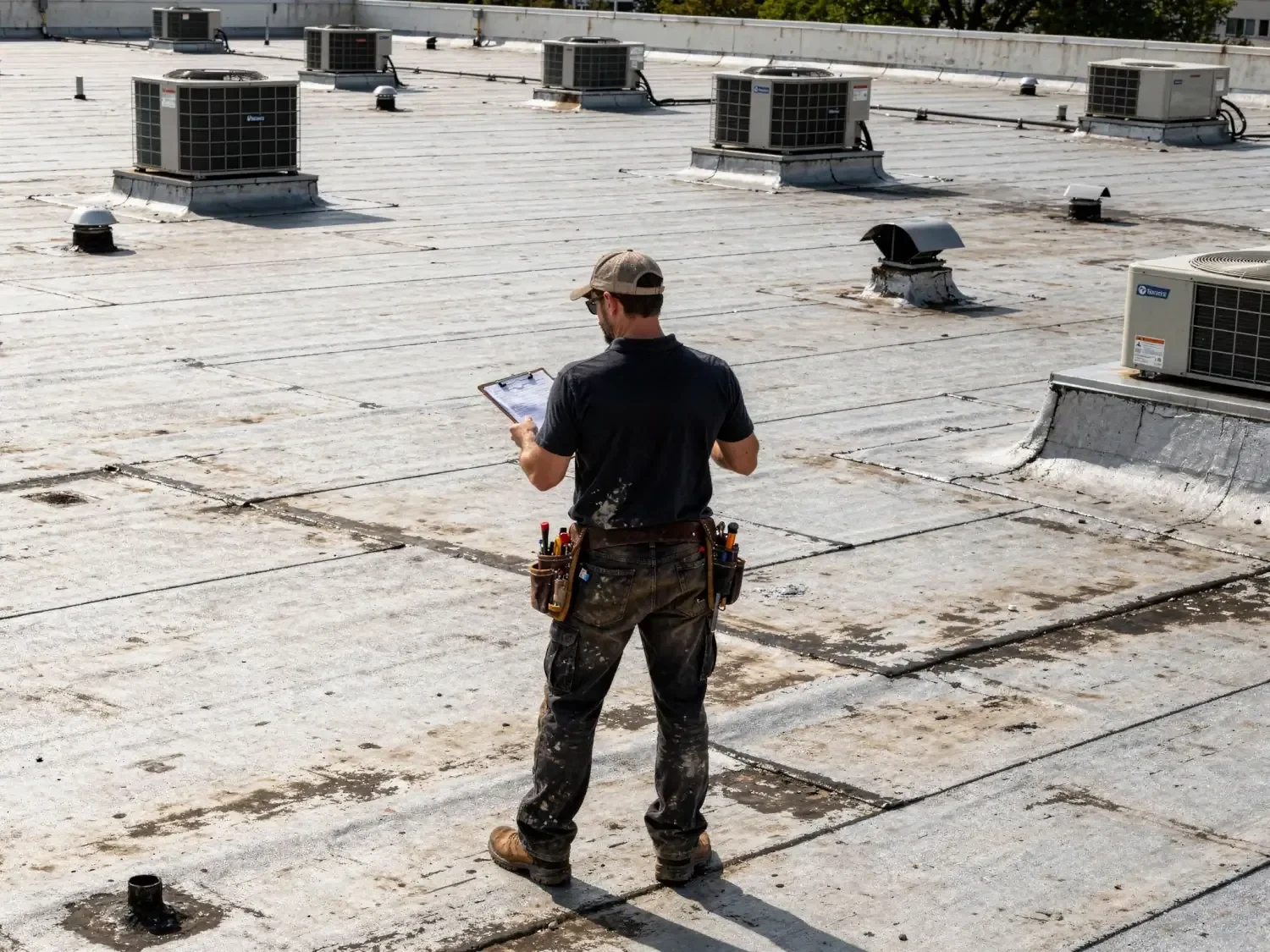
Provide the property address, flight purpose, roof plan if available, access contact, and any site restrictions. We will confirm whether imagery is suitable and what follow-up may be needed.
Commercial Drone Roof Inspection
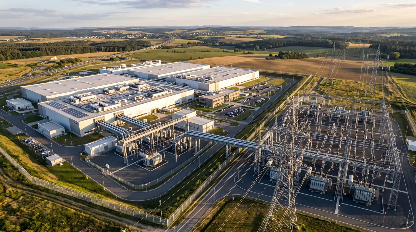
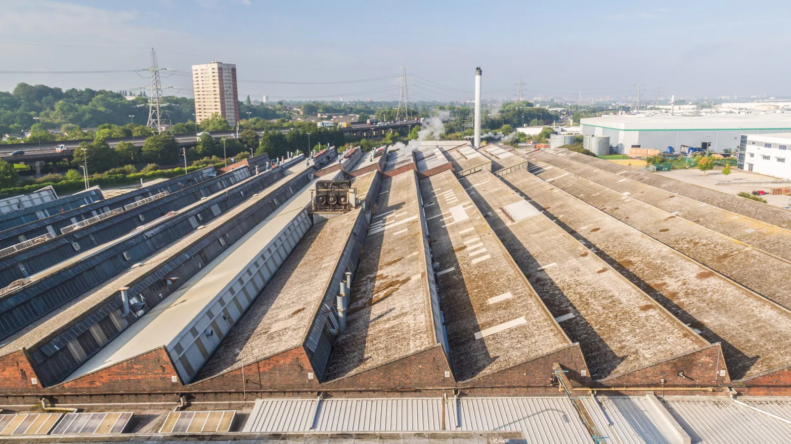
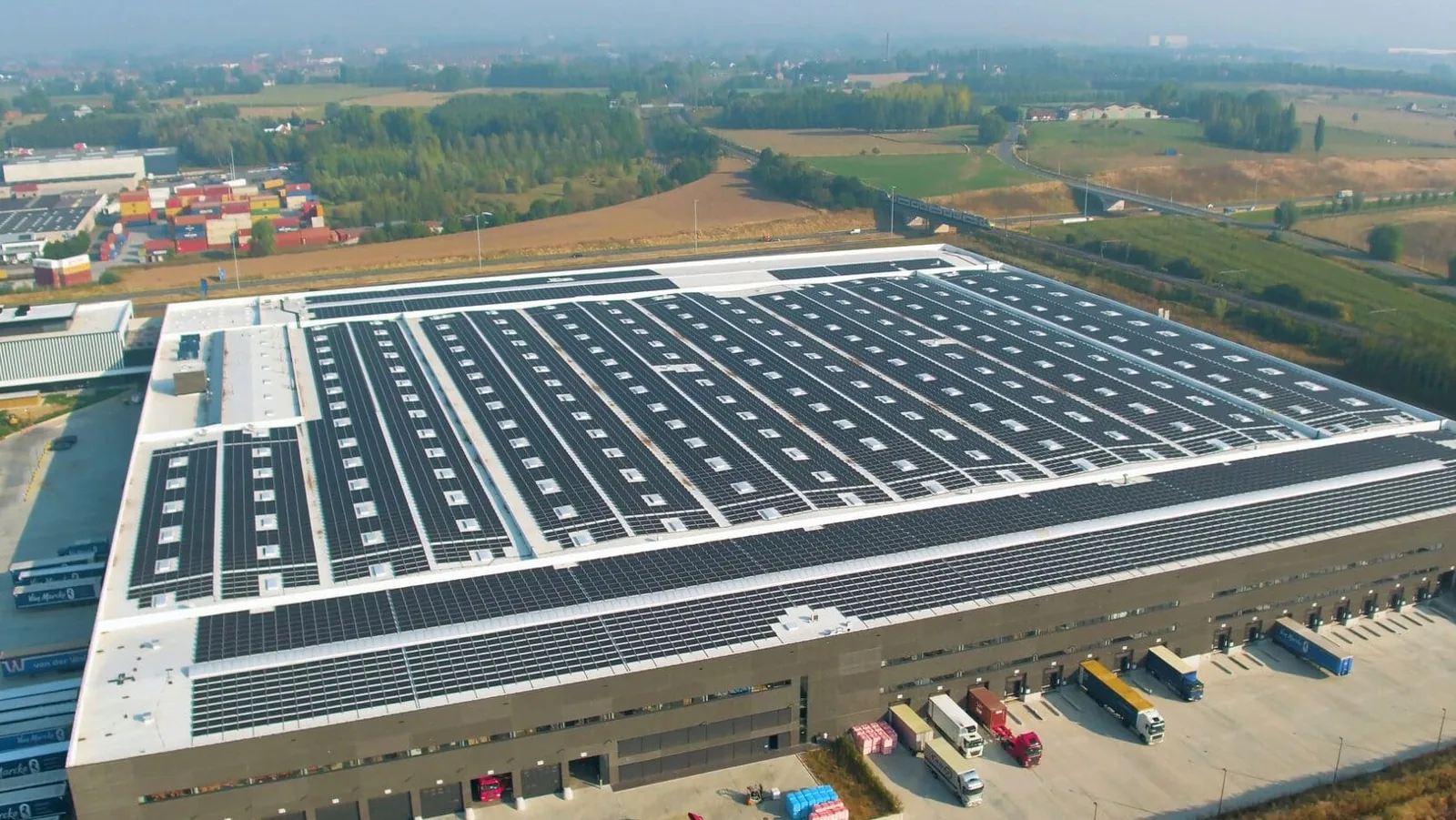
A large roof can take time to inspect on foot, especially when access is limited or equipment blocks a direct view. Drone imaging adds a broad visual record of roof zones, perimeter conditions, rooftop units, and visible debris. We first confirm the building, flight area, access rules, and inspection purpose. Elgin’s business and industrial parks vary in size and use, so image planning follows the individual site. Aerial photos can guide a closer check, but they cannot reveal every concealed layer or seam condition.
Inspection purpose: choose what imagery must show
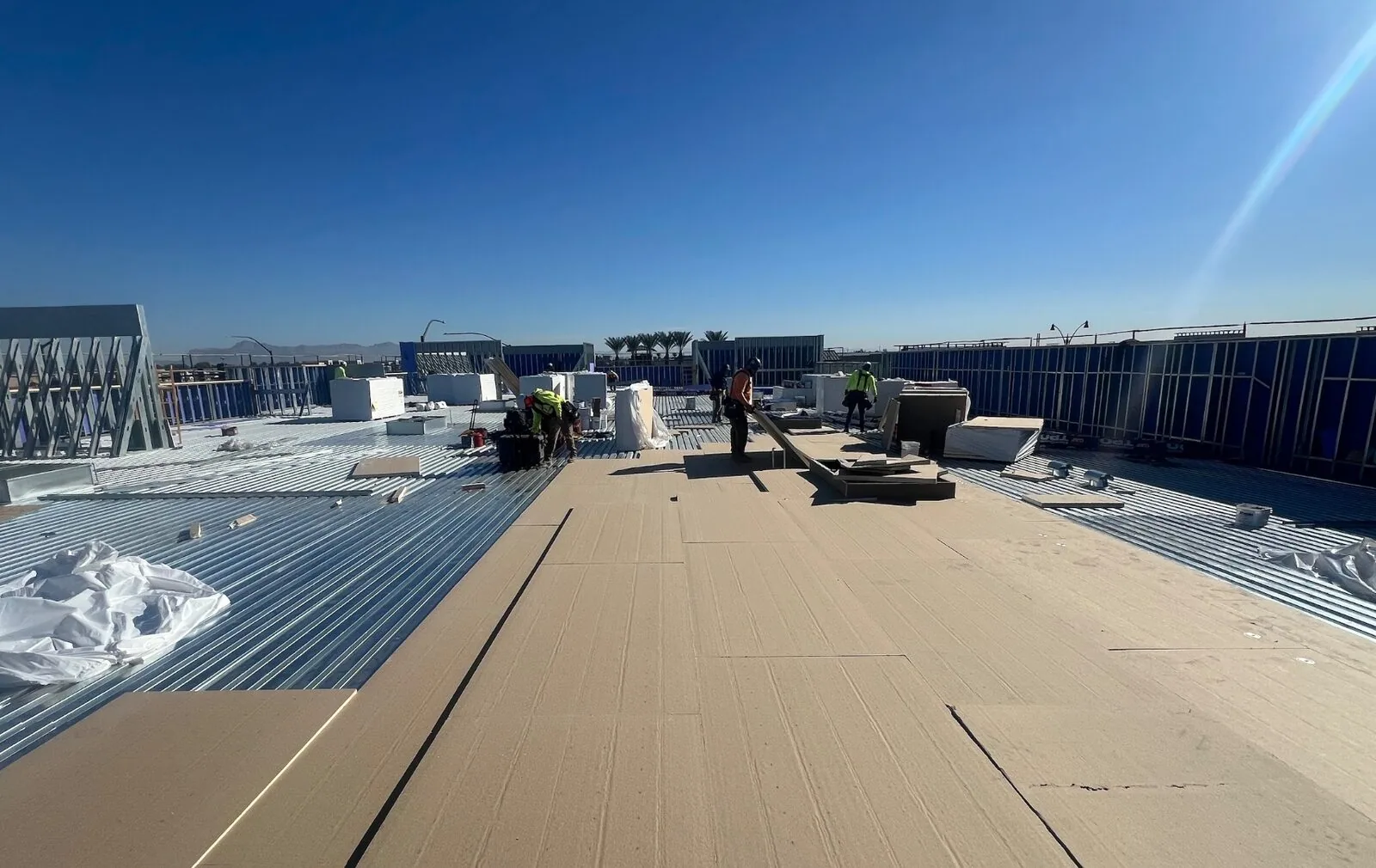
We agree on the question before flight. A leak report may require imagery around a roof zone and nearby drainage path. A property manager may need a dated overview for several roof sections. A post-storm check may focus on displaced material, debris, visible impact, or damage around rooftop equipment. The flight plan identifies included areas, image angles, and any portion blocked by trees, structures, weather, or restricted airspace.
Elgin’s business areas include Miller-Davis Research & Industrial Center and Randall Crossing Business Park, with separate zoning and acreage. Those area designations help organize a site visit, but each roof’s access and flight conditions require confirmation. The site contact can identify adjoining property lines, active loading areas, and any security restrictions. We plan around operations so the drone does not cross controlled space or interrupt a delivery route.
Flight planning: set safe operating limits
Weather determines whether aerial images will be useful and safe. Wind, precipitation, low cloud, and poor visibility can delay a flight. We check current conditions and applicable operating requirements before launch. The pilot maintains awareness of people, vehicles, roof edges, cranes, and nearby air traffic. If a site restriction makes flight impractical, we explain the limit and arrange an alternate inspection method.
Image overlap, angle, and resolution affect what a photo can show. A high overview can establish where equipment and ponding areas sit. A lower pass may show edge metal or debris, but it still cannot confirm a weld, adhesion, or moisture below the membrane. Images are labeled by roof section and date. This keeps the file usable when an owner reviews repair estimates or compares a later survey.
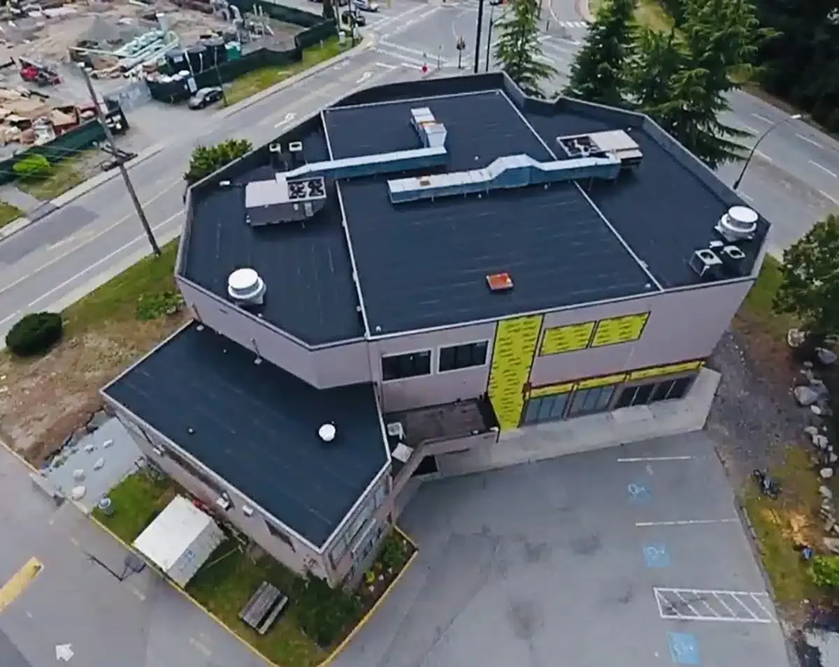
Image review: separate visible signs from assumptions
We review images for open-looking laps, displaced flashing, standing water, debris, punctures, loose rooftop items, or apparent surface changes. A photo can identify where a closer inspection should begin. It cannot always show depth, attachment, material compatibility, or the path taken by water under a roof. We mark uncertain items for a hands-on check instead of describing them as confirmed failures.
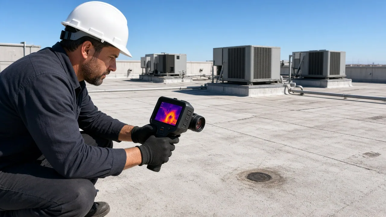
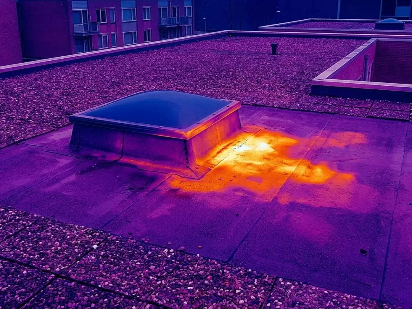
Elgin’s July 2023 tornado and February 2024 one-inch hail report make post-event imaging useful when a specific property reports possible impact. The regional event does not establish damage to another building. We compare the site’s reported condition with the images and then inspect suspicious details directly. If moisture below the membrane is the question, an infrared moisture survey may help choose verification points. If a seam needs contact-level review, a hands-on roof inspection remains necessary.
Building use: coordinate imagery and access
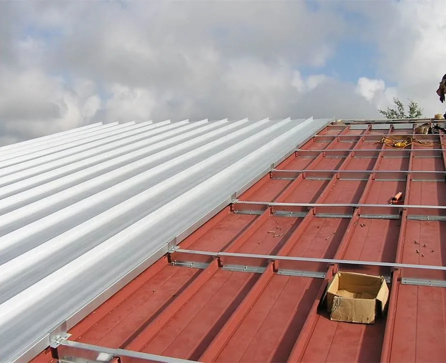
Industrial yards, schools, offices, and medical properties each have different restrictions. The manager identifies areas where people gather, sensitive equipment, security boundaries, and times when flight activity should be avoided. We use a site contact who can coordinate notices and maintain a clear launch and landing area. The drone does not enter an interior space or bypass required site procedures.
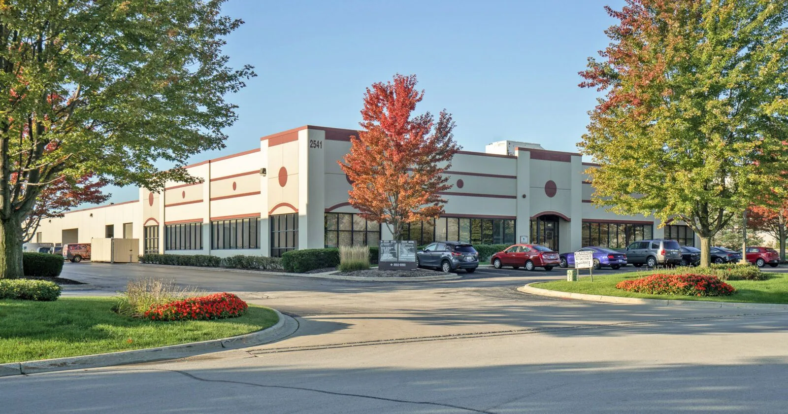
For buildings within Northwest Corporate Park or Elgin-O’Hare Business Center, the park name is a locator, not proof of the roof’s construction. We inspect the property itself and identify which roof sections the images include. If multiple buildings share a parcel, we label each one separately. The manager can then match the image set to maintenance records without confusing one roof with another.
Follow-up inspection: verify details at roof level
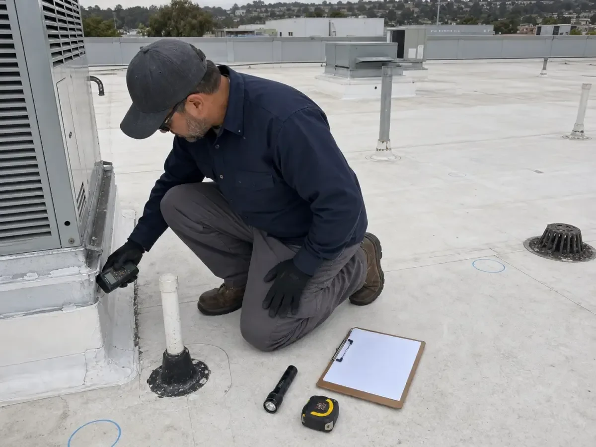
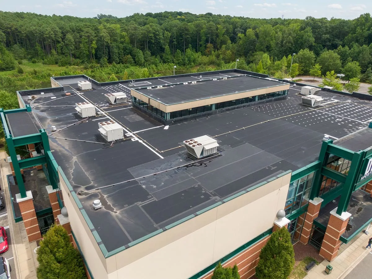
After image review, we list the areas that need hands-on inspection, moisture testing, or repair. A drone survey can reduce uncertainty about where to focus, but it does not replace close contact with a roof surface. We inspect seams, fasteners, flashing edges, drains, and penetrations at the locations marked. Findings are recorded with photographs and a scope boundary, then the owner can decide whether to schedule repair or further testing.
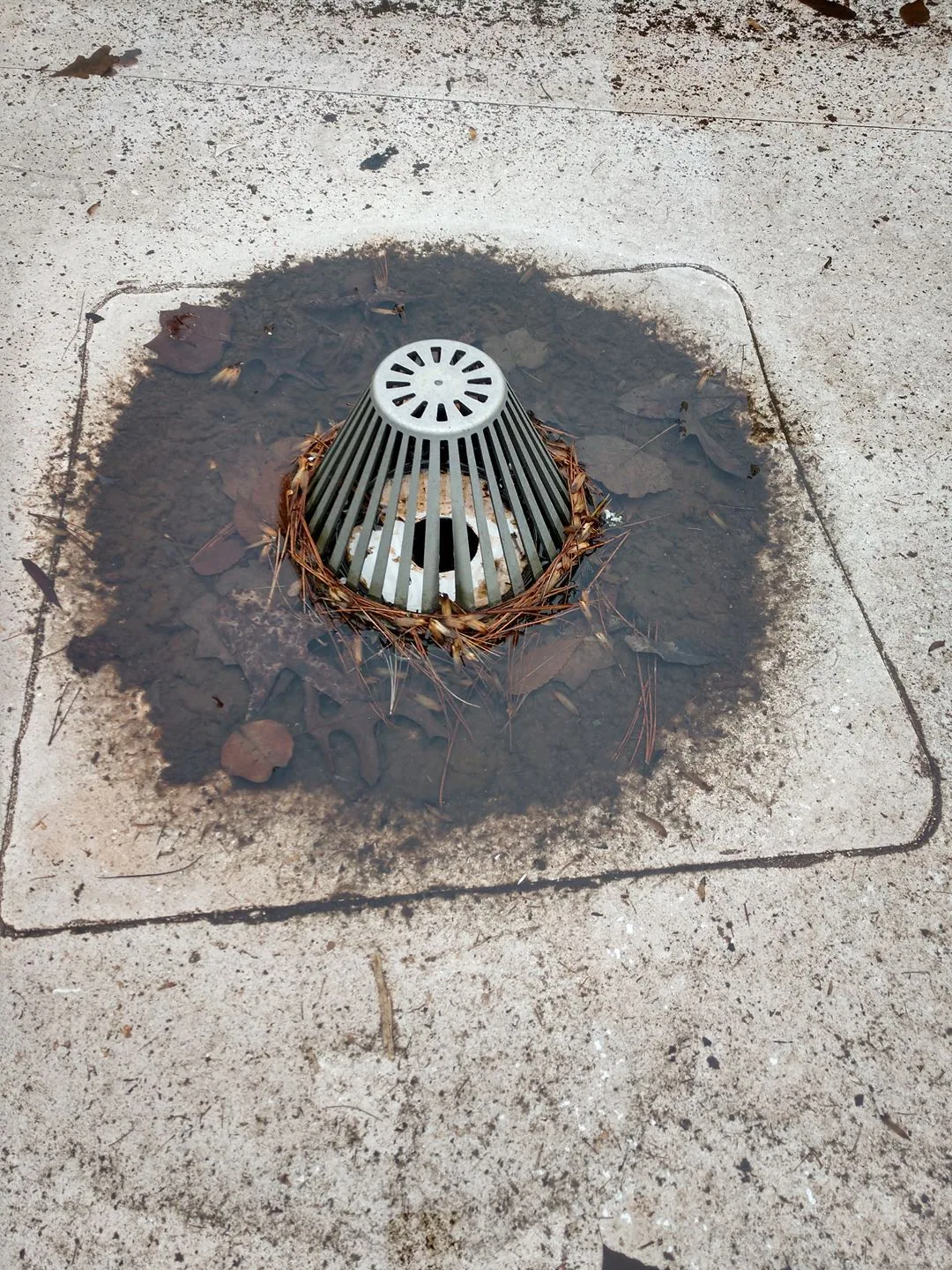
Where the main issue is drainage, a drain and scupper review can check flow, strainers, and discharge points. If images show a potential roof opening, leak response can pair interior reports with the suspect zone. We distinguish each conclusion by method: what the aerial image shows, what a technician confirmed at the surface, and what remains concealed.
Deliverable: keep the images tied to the building
The final set includes selected images, inspection date, covered roof zones, visibility limits, and observations requiring a second look. We can annotate locations so an asset manager can direct follow-up without guessing which unit or edge appears in a photo. Images are useful only when their limits are clear. We avoid calling a surface defect confirmed until a suitable inspection method supports that finding.
Before delivery, we check image orientation, labels, and whether the selected frames cover the planned route. We note any roof area blocked by vegetation, equipment, or glare. If a photo suggests a concern but lacks enough detail, it becomes a follow-up item instead of a repair finding. The manager can then assign a close inspection to the right roof zone. We return to the field when an image question affects a repair decision. The missing detail is reported before additional work is approved. The owner receives the labeled images with the report.
Share the building’s access rules, property manager, roof plan, and purpose for the flight when scheduling. The report will say whether the images answered the original question or whether the roof needs closer review. For a Downtown Elgin property, we also confirm launch options, occupied areas, and nearby obstructions with the site contact. Each image set stays tied to one building and one inspection date.
Questions About Commercial Drone Roof Inspection
Can a drone confirm a leak source?
Aerial photos can show surface clues and help select a roof area for closer inspection. They do not trace water through concealed layers or prove which detail caused an interior stain. We compare the imagery with the reported room and use hands-on checks or testing when needed.
Will drone images show moisture below the roof membrane?
Ordinary visual imagery cannot show moisture hidden below a membrane. Thermal or other survey methods may help identify candidate areas, but results require interpretation and sometimes core verification. We choose the method based on the roof system and question.
What can cancel or delay a flight?
Wind, rain, visibility, airspace restrictions, site security, and active operations can change the flight plan. We review those limits with the property contact before launch. A hands-on or alternate inspection can be scheduled when images cannot be collected safely.
Are drone photos enough for a post-storm claim?
They provide dated visual documentation of accessible roof surfaces, not a complete damage determination. We mark what is visible and arrange closer inspection where the image is inconclusive. The property’s condition must be documented directly.
Can the images be compared across multiple buildings?
Yes, when each building and roof zone is labeled consistently and the image dates are retained. We note coverage gaps and changed flight conditions. That gives an asset manager a more useful comparison than an unlabeled folder of aerial photos.